
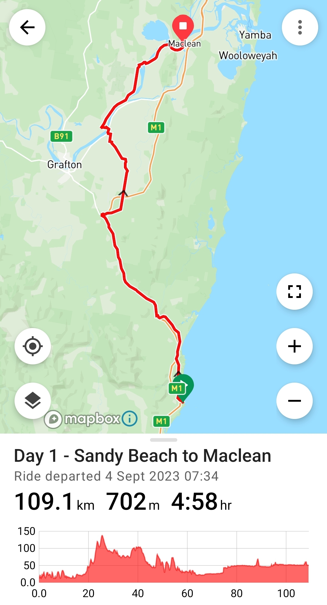
Monday 4th September, 2023
109km +703m
Moving 4:58 Total 7:55
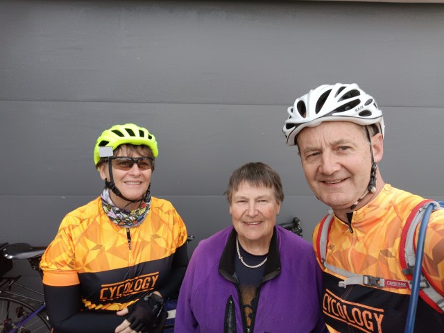
We were a bit disorganised, but got away just after 7.30. We actually even had a farewell party (of one), with IPWR Adelaidean dot-watcher, Kay, having stayed with us the night before! Kay is an Indipac dotwatcher legend, having hosted or guided many Indipac-ers in Adelaide. On our Indipac epic she rode the last stretch into Adelaide with us, and guided us through back streets to our motel, and then the following morning guided us out of Adelaide (taking us up Norton Summit as a safer option than the official route.)
She was on a bike orienteering trip over here on the east coast, and was heading north as well, in her van. It was great to catch up with her. We left her to pack up at her leisure and then drop the key with our neighbour.
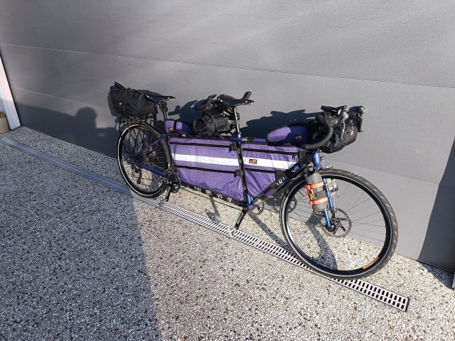
Altered set-up to Indipac. The frame bags were a game changer – so much less wind resistance and much better manoevrability compared to panniers – so they were staying. No camping on this trip, so the bar rolls fitted all our clothes, and just a trunk bag on the rear rack.
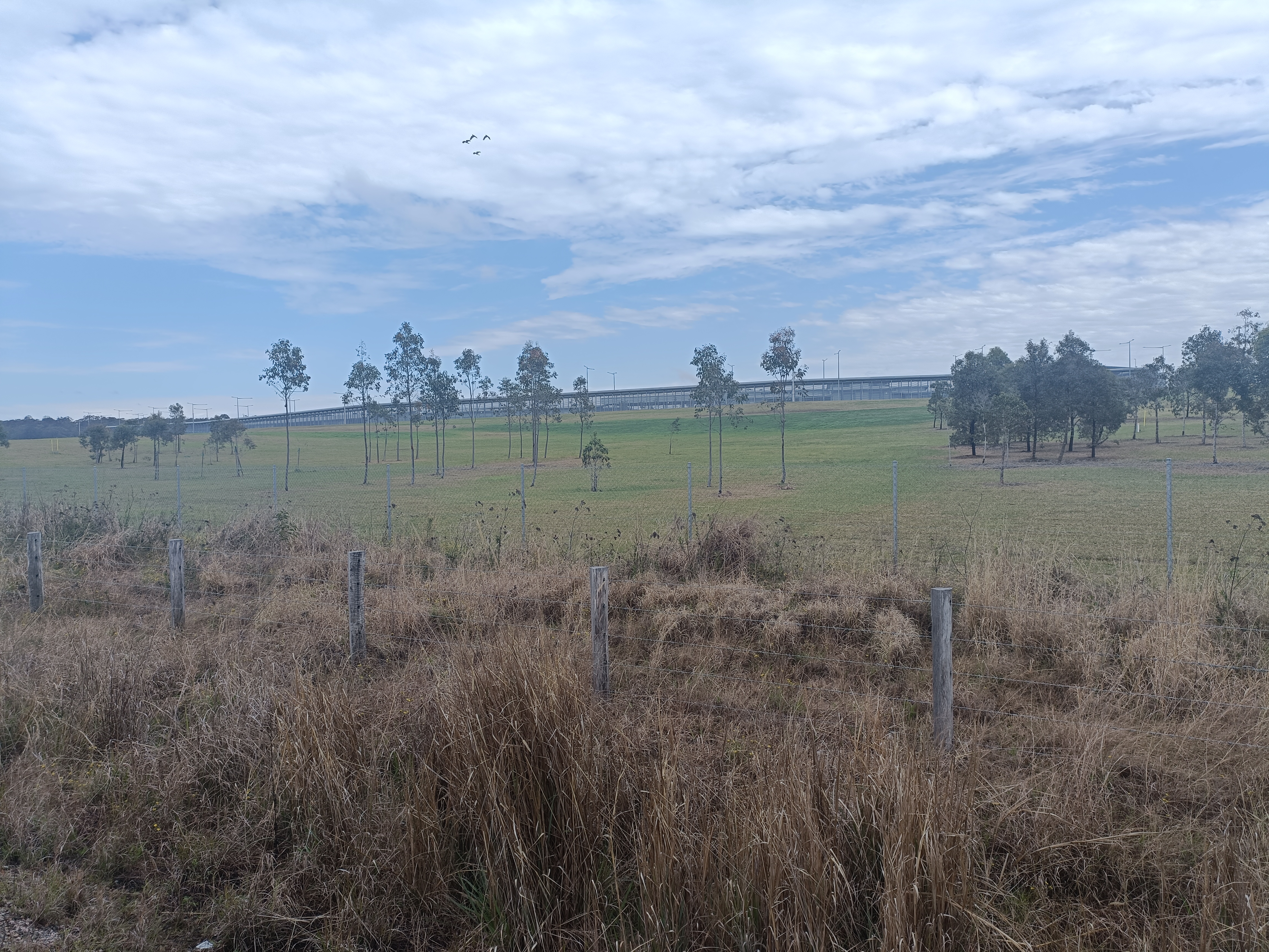
We had ridden all of today’s route before, one direction or another (or both), but that’s the price you pay for leaving from home. We opted to take Solitary Islands Way, aka the service road, through Woolgoolga to Range Rd. There would be enough unavoidable highway to come.
It was then 8km on the highway to Halfway Creek. We scuttled across the highway to the Shell service centre on the eastern side for some food/coffee. @32k. (There is now an Ampol Foodary on the northbound/western side 3k further north on the corner of Kungala Rd but it hadn’t yet opened in ’23)
Just another 7km north we could leave the highway at Old Pacific Hwy/Parker Rd access. It was then 11km of quiet road – and we enjoyed it this time compared to riding it the other direction on a stinking hot 37 degree December day a couple of years earlier.
A left onto Big River Way and then in less than 1km a right onto Eight Mile Lane. We’re not that keen on this road (for traffic), but it was only a few ks to Avenue Road. We stopped not too far along for a mini-break, and then again for a quick photo of the gaol, I mean, Correctional Centre. Close to 60km down at this point.

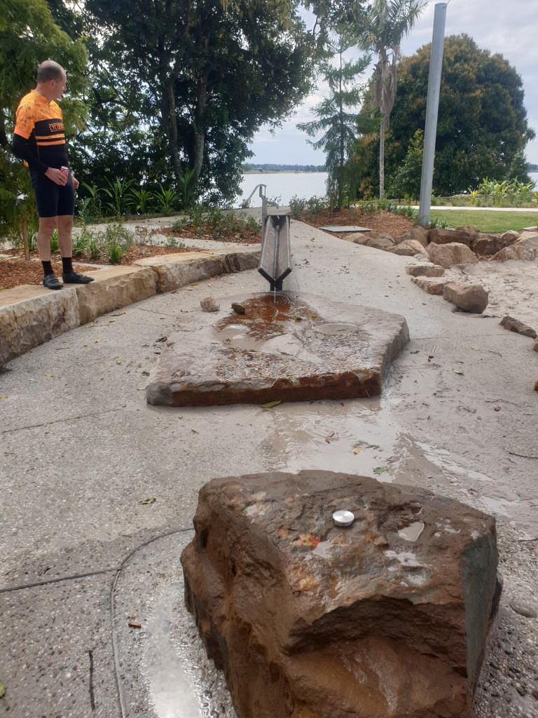
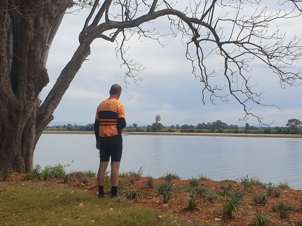
Another 15km into Ulmarra. We always seem to come through here on a Monday when a nice looking little cafe ( ‘Food Co’) is always closed. We headed for the park by the river, and grabbed some ‘vittles’ (victuals) from the cafe at the pub.
The park had had a makeover since we were last here. New loos, nice landscaping, and an interactive playground with water pumps and channels. The hydrographer big kid had to have a go before we left.


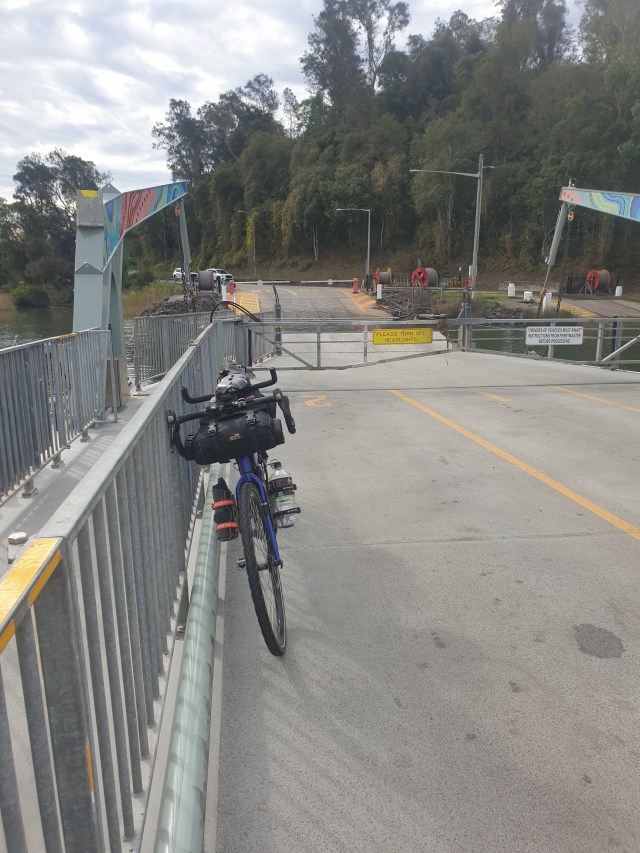
We rolled down the road to the ferry and crossed the Clarence to ride the Lawrence Rd. It’s flat as a tack basically, with one annoying hill. A stop at Lawrence General Store (95k) before taking the Bluff Point ferry back over the other side of the river (but onto Woodford Island). Last 15k of flat riding to Maclean, between the river and sugar cane farms. Despite it not being a hot day, 109km was more than enough for us for Day 1. We checked in to the motel about 3.30. A few hundred metres down to the pub for dinner, and that was a wrap for our first day of touring in nearly 18 months.


Route notes: Crossing the river (twice) with the Lawrence Road option probably wins out as our preferred option. Big River Way then via Brushgrove is another option, but Big River Way (the old Pacific Highway) is much busier, and the shoulder isn’t always great. You still do get impatient cars on Lawrence Rd, but there’s rarely oncoming traffic at the same time.
